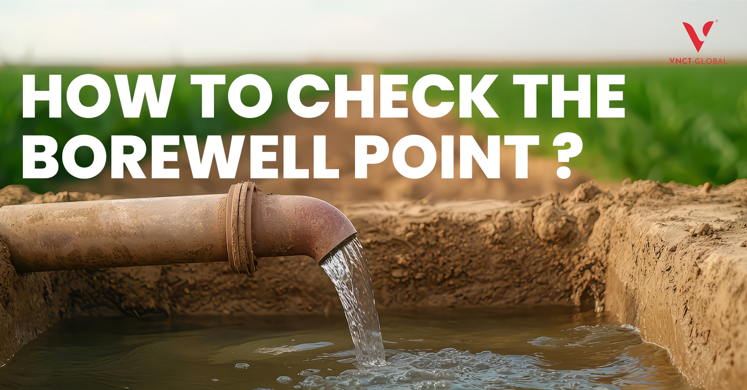
Introduction
Determining the optimal borewell point is a crucial step before commencing construction. Selecting the right location ensures a consistent water supply, reduces costs, and prevents potential legal issues. In this guide, we’ll explore various scientific methods to identify the best borewell point and discuss common mistakes to avoid.
Understanding Borewell Points and Why They Matter
A borewell point is basically the spot where you drill to access underground water. Choosing the right place is really important because it affects both your wallet and your water supply.
- Save on Costs: Drilling in the wrong spot can lead to extra expenses. Picking the right point helps avoid unnecessary drilling.
- Steady Water Supply: A well-chosen borewell ensures you have water when you need it, without interruptions.
- Stay Legal: Local authorities have rules about where you can drill. Picking the right point keeps you compliant and avoids fines.
- Vaastu Considerations: Many homeowners also consider Vaastu guidelines. The placement of the borewell can influence the energy flow and harmony of your home.
In short, a little planning goes a long way. The right borewell point combines practical water access, cost savings, and even traditional practices, making it a key part of your home or villa planning.
Check Here for more Information: Best Villa developers in Chennai
Methods for Checking Borewell Points
1. Electrical Resistivity Survey
This method measures the ground’s resistance to electrical currents. Areas with high moisture content, indicative of groundwater, show lower resistance. It’s effective for mapping subsurface water-bearing layers.
2. Electromagnetic Survey
This method uses electromagnetic waves to check how the ground conducts electricity. Areas that conduct differently can signal the presence of underground water. It’s a quick, non-invasive way to identify potential water sources without digging right away.
3. Seismic Survey
Involves sending sound waves into the ground and analyzing the reflected waves to identify water-bearing formations. This method is particularly useful in areas with complex geology.
4. Geomagnetic Survey
Detects anomalies in the Earth’s magnetic field caused by underground water sources. While effective, it is often used in conjunction with other methods for accuracy
5. Induced Polarization Method
This technique looks at how well the ground can hold an electric charge. Areas that retain more charge often indicate water-saturated zones. It’s especially helpful in regions with minerals that conduct electricity, giving a clearer idea of where water might be found without unnecessary drilling.
6. Very Low Frequency (VLF) Sounding
Uses low-frequency electromagnetic waves to detect water-bearing structures, especially in fractured terrains. It’s a quick and effective method.
7. Proton Magnetic Resonance (PMR) Technique
Measures hydrogen nuclei’s resonance frequency to assess water content in the ground. It’s a non-invasive and accurate method but requires specialized equipment.
8. Hydrological Studies
Involves analyzing the area’s water cycle, including rainfall patterns and groundwater flow, to predict water availability. It’s a comprehensive approach that considers various environmental factors.
9. Analysis of Satellite Imagery
Utilizes remote sensing data to identify surface features and moisture levels that may indicate groundwater presence. It’s a preliminary method that can guide further investigation.
10. Test Drilling or Pilot Boreholes
Involves drilling small test holes to assess water availability before full-scale drilling. It’s a direct method to confirm the presence of groundwater.
Step-by-Step Guide to Choosing Borewell Points
1. Initial Consultation and Site Survey
Start by consulting experts who can assess your land. They’ll look at the terrain, soil type, and any existing water sources to understand the best approach for your property.
2. Pick the Right Survey Method
Based on the initial assessment, choose a survey technique that suits your land and water requirements. Different methods work better in different soil and geological conditions.
3. Conduct the Survey
Carry out the survey using the selected method. This helps gather data about underground conditions and potential water-bearing areas.
4. Analyze the Results
Review and interpret the survey data carefully. This step helps pinpoint zones that are most likely to have groundwater.
5. Mark the Borewell Point
Once the data is analyzed, mark the spot where the borewell should be drilled. This ensures the borewell is placed in the most promising location.
6. Pilot Drilling
Before full-scale drilling, do a small test drill to confirm water presence and quality. This step reduces the risk of drilling in a dry or unsuitable spot.
Common Mistakes to Avoid When Choosing Borewell Points
1. Skipping Proper Research
Relying only on hearsay or unverified methods can easily lead to a dry or unproductive borewell. Always gather accurate information before making decisions.
2. Ignoring Professional Advice
Trying to pick a borewell point without consulting experts can result in wrong placements and wasted money. A professional assessment can save time, effort, and resources.
3. Overlooking Environmental Factors
Things like soil type, vegetation, and nearby water sources matter a lot. Ignoring these can affect whether your borewell actually yields enough water.
4. Neglecting Borewell Depth
Drilling too shallow or going unnecessarily deep can reduce water availability or increase costs. Proper depth planning is key to a successful borewell.
5. Skipping Post-Drilling Checks
After drilling, it’s important to test the water quality and quantity. Skipping this step can lead to unpleasant surprises, like poor water quality or low yield.
Conclusion
Choosing the right borewell point is essential for a reliable water supply, whether you’re building a villa, farmhouse, or commercial property. Water is needed not just for daily use but also for construction, landscaping, and long-term maintenance, so drilling in the wrong spot can be costly and frustrating.
Using professional guidance and modern techniques like electromagnetic surveys, resistivity testing, or induced polarization helps identify areas with good water yield without unnecessary digging. Coupled with a proper site assessment, this ensures your borewell is placed in the most promising location.
It’s also important to consider environmental and regulatory factors, such as soil type, nearby water sources, and local rules, which affect the success of a borewell. Avoiding mistakes like incorrect depth or skipping post-drilling checks can save time and money.
With careful planning and expert input, you can secure a steady, high-quality water supply and ensure your project runs smoothly for years to come.
FAQs for How to Check the Borewell Point
- How accurate are geophysical surveys for water detection?
Geophysical surveys are highly accurate when conducted by experienced professionals, offering a reliable means of detecting underground water. - Can satellite imagery really detect underground water?
Yes, satellite imagery can reveal geological formations and patterns indicative of groundwater presence, although ground verification is necessary for accuracy. - How do I find groundwater for a borewell?
Engage groundwater surveyors who use methods like geophysical surveys and hydrological studies to locate water. - How do I know if my borewell has water?
Monitor the water level and yield during drilling; use water detection equipment and techniques to assess the borewell’s water presence. - How long does a groundwater exploration process take?
The duration varies depending on the size of the area and the methods used but can range from a few days to several weeks.

